

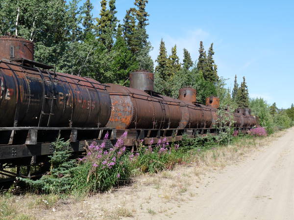
Click on any image to view a slideshow.
WCOC Sprint Distance (Hillcrest)
This ISSOM standard sprint map (1:5,000 CI = 2.5 metres) is a semi urban area comprising a combination of residential, school grounds, park and forest. As such competitors will be required to think quickly and adapt their orienteering techniques throughout the course.
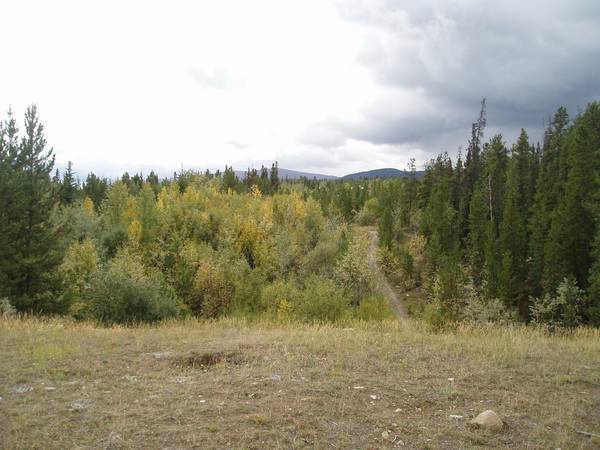
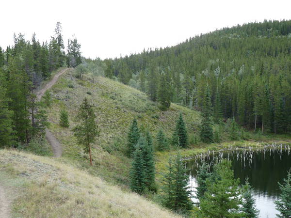
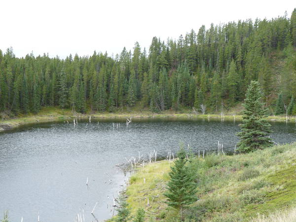
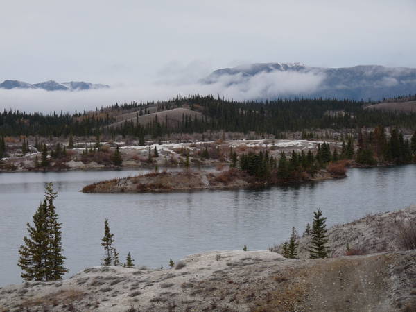
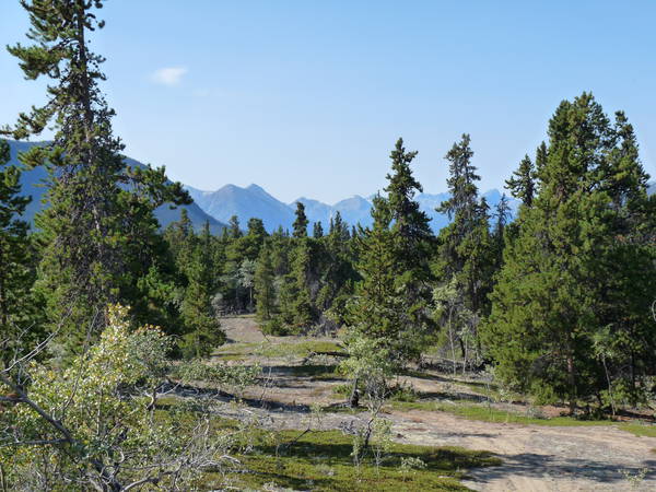
WCOC Middle Distance (Hidden Lakes)
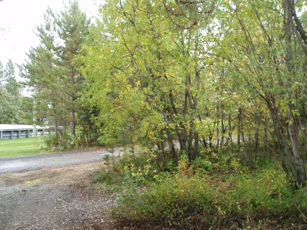
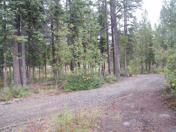
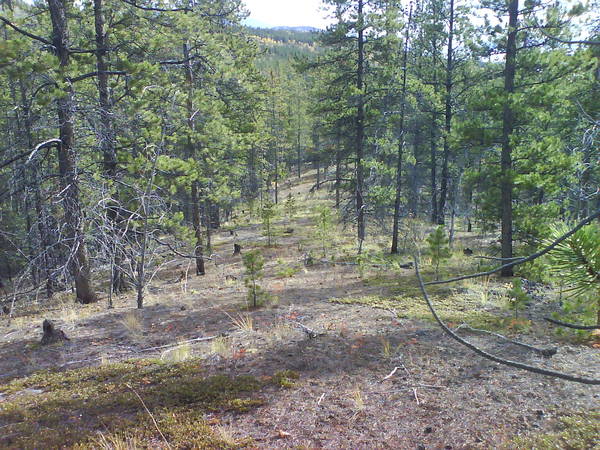
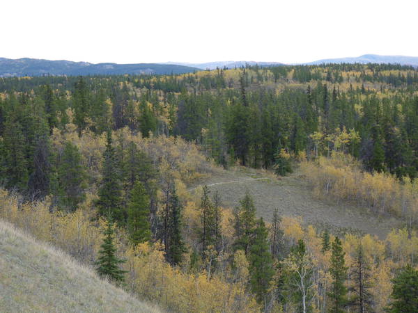
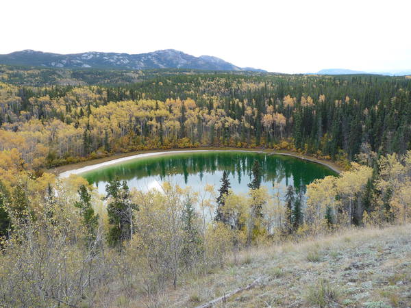
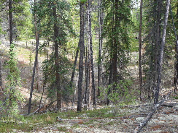
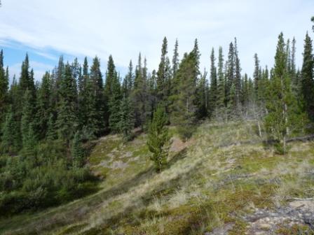
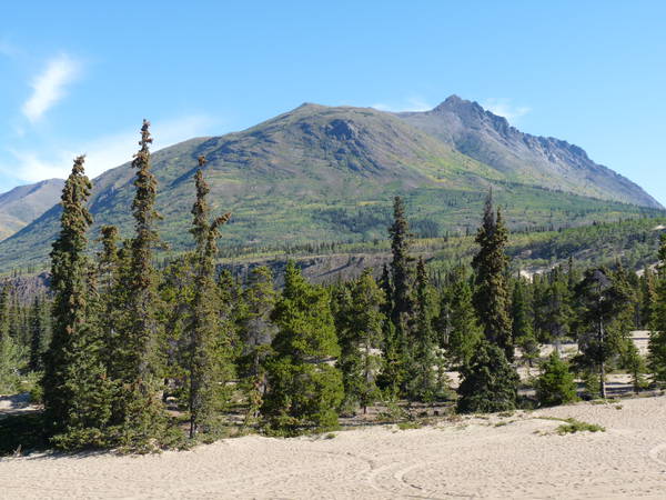
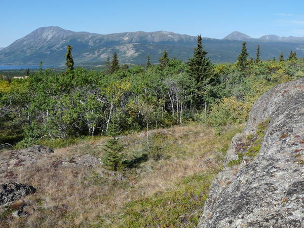
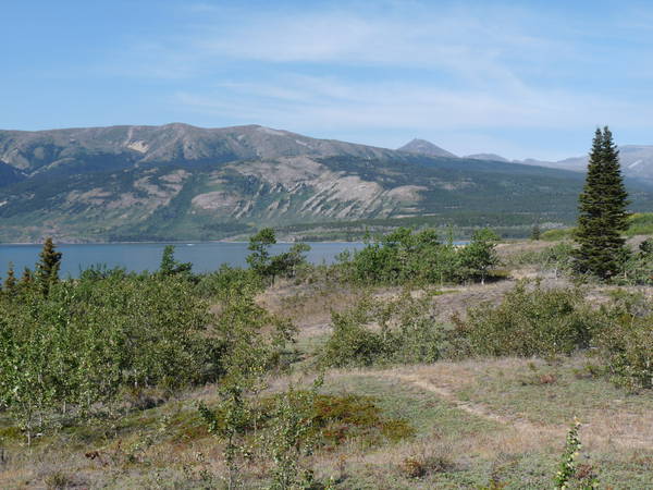
Immediately adjacent to the Riverdale area of Whitehorse, the WCOC Middle and Long areas offer a wonderful mix of fine and coarse negative topography, with numerous lakes, open south facing slopes and great views of the Yukon River Valley. Courses will test a variety of orienteering skills including route choice, fine compass navigation and contour interpretation in detailed areas. The forest in both areas is a mix of open lodgepole pine, aspen, with some thicker areas of spruce.
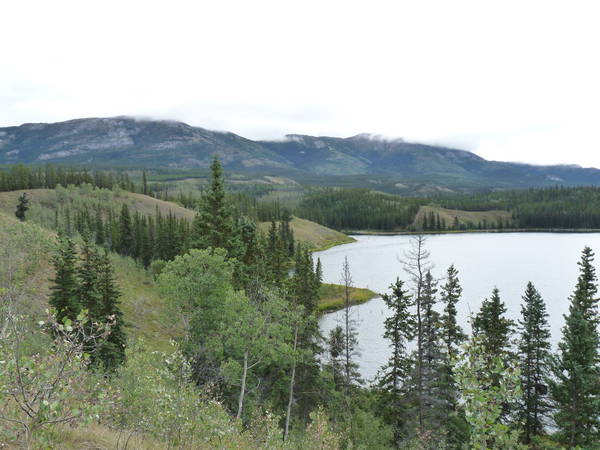

WCOC Long Distance (Long Lake Southeast) [WRE]
See the WCOC Middle Distance (above) for a description of this area.
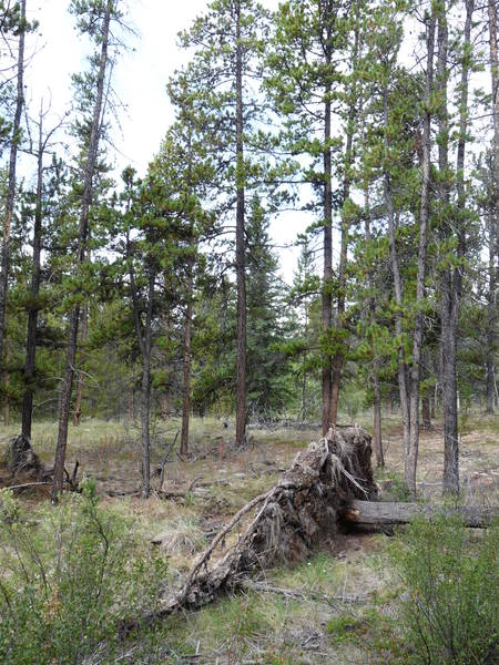
COC Sprint Distance (Mount Lorne) [WRE]
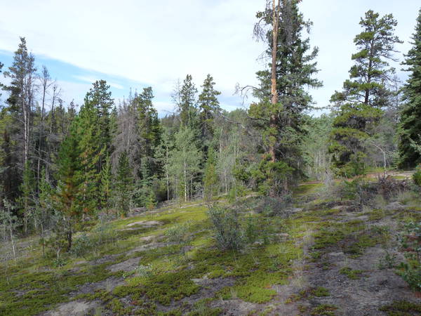
This ISSOM standard sprint map (1:5,000 CI = 2.5 metres) is of a non-urban (natural) area. Key topographic features are depressions of varying sizes, up to 15 metres deep, separated in places by relatively featureless areas. Although some of the depressions have willow bushes in the bottom, we consider this area to be extremely fast — a very open pine forest with natural meadow clearings. Views of the mountains to the south of the area may be a distraction on some of the courses.

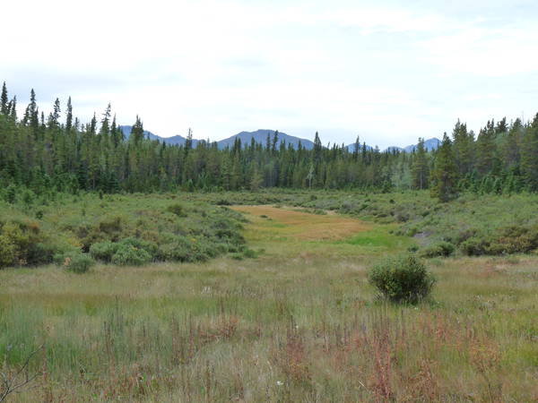
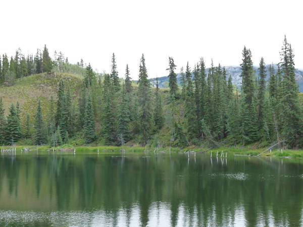
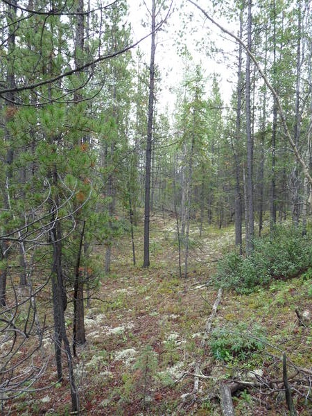
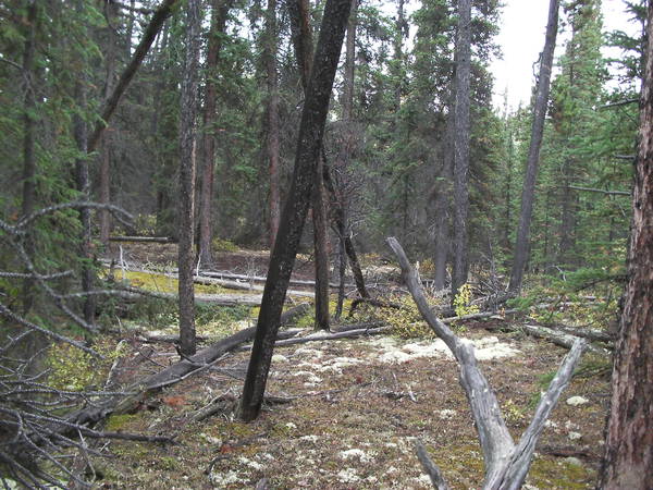
COC Middle Distance (Lewes Lake) [WRE]
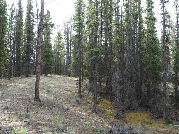
A very technically challenging area of fine negative contour detail, with an intricate mix of vegetation thrown in. One of the mappers (Ivar Helgesen of Norway) suggested that it was perhaps not an appropriate venue for a Canadian Championships — that it would better serve for a World Championships. Enough said.
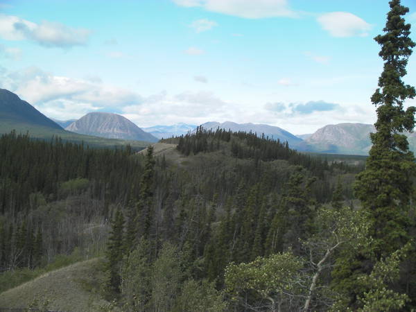

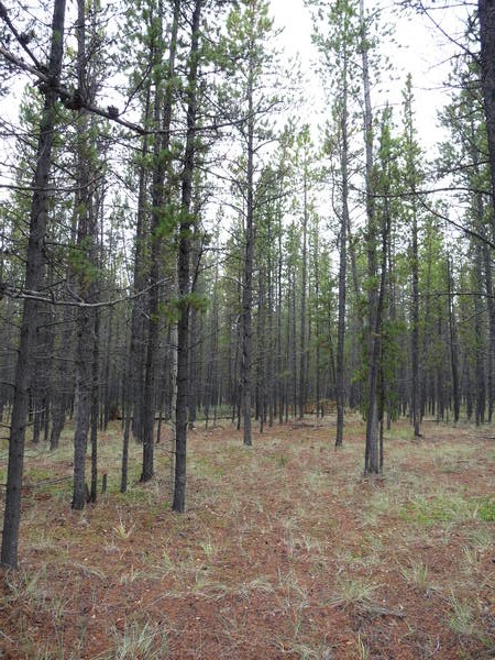
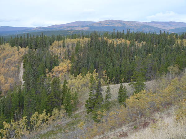
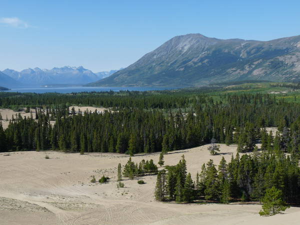
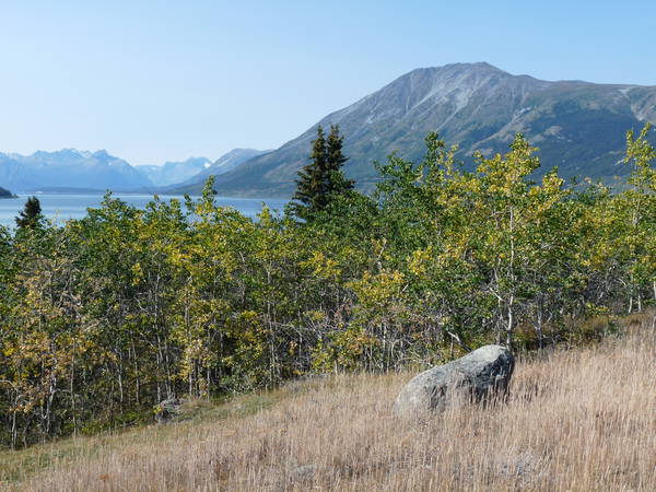
COC Long Distance (Carcross Desert)

This area offers a mix of open sand desert, intricate vegetated dunes, areas of almost no detail, and even some boulders and cliffs. This area is generally very open — either rough open meadows or lodgepole pine forest, although some areas of aspen are slower due to deadfall. The Carcross Desert offers a very enjoyable, but technically challenging venue for the long distance courses.
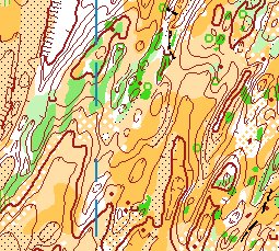
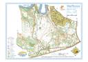
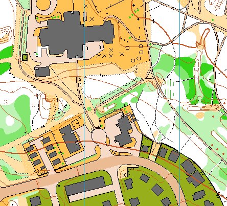
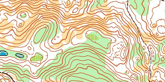
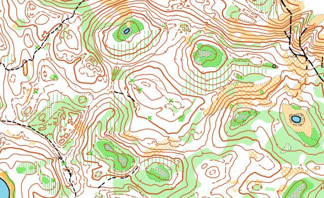
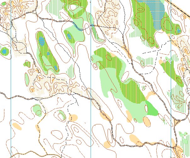
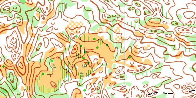
Example Map
Click on this image to download a full map in PDF format. This area is in Whitehorse, and is representative of the terrain in the region. (Note that this map will not be used for either the WCOC or COC.)